Delivered online or in person, these instructor-led live ArcGIS* training courses feature interactive, hands-on exercises that demonstrate how to work with maps and geographic information, as well as how to implement common GIS techniques to build spatial data projects.
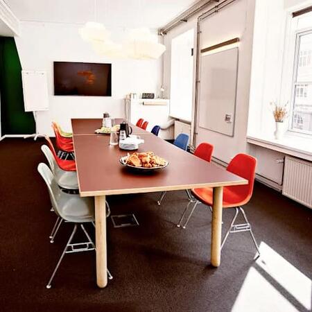
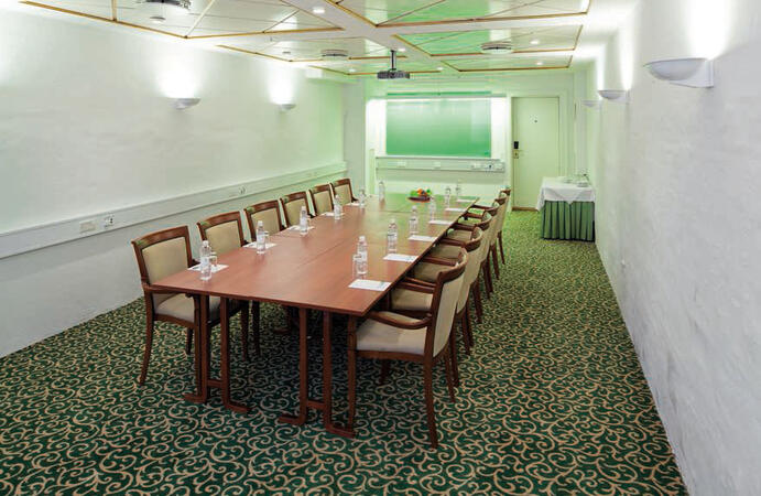
ArcGIS training is offered in both "online live" and "onsite live" formats. Online live training (also known as "remote live training") is conducted through an interactive remote desktop. Alternatively, onsite live training can be hosted at your facilities in Copenhagen or at NobleProg corporate training centers in Copenhagen.
NobleProg -- Your Local Training Provider
*ArcGIS is a trademark, service mark, and registered mark of Esri in the United States, EU, and other international jurisdictions. Esri has not reviewed this training course for completeness, accuracy, or quality, and as such, does not endorse, sponsor, or affiliate with this training course.
You can also take bus 26 or 7A and get off around Vesterbros Torv; from there it is a short walk.
By bus
Useful nearby stops include:
Vesterbros Torv (Vesterbrogade) — about 1 minute from the area.
Frederiksberg Allé (Vesterbrogade) — nearby.
Trommesalen (Vesterbrogade) — nearby.
Bus 26 and 7A serve the Vesterbrogade corridor.
København, Copenhagen
NobleProg København, Bredgade 37, København K, denmark, 1260
Near Amalienborg Palace & Royal Theatre.
If you arrive by train
If you arrive at Copenhagen Central Station (København H):
Walk to København H Metro.
Take the M3 or M4 metro toward Kongens Nytorv.
Get off at Kongens Nytorv.
Walk north toward Nyhavn, then continue along Bredgade.
Bredgade 37 is about 500 m / 6 minutes' walk from Kongens Nytorv.
Another easy option
Marmorkirken (Marble Church) Metro Station is also very close to Bredgade 37. The nearby Bredgade area is about 2 minutes' walk from Marmorkirken station.
By bus
There are bus stops around Dronningens Tværgade / Bredgade, so you can also travel by bus and walk the final few minutes.
This live, instructor-guided training in Copenhagen empowers intermediate GIS professionals with advanced ArcGIS Pro Plus competencies. Learners will acquire proficiency in 3D modelling, spatial analysis, and Python automation to construct robust geospatial workflows suitable for enterprise contexts.
This live, instructor-led course in Copenhagen (delivered online or on-site) is designed for GIS professionals and analysts of all levels, from beginners to advanced users, who seek to proficiently leverage ArcGIS for visualizing data, conducting spatial analysis, and managing geospatial projects.
Upon completion of this program, participants will be equipped to:
Manage geospatial data efficiently using ArcGIS tools.
Construct and customize maps incorporating various layers and attributes.
Carry out sophisticated spatial analysis and geoprocessing tasks.
Optimize workflows by employing ModelBuilder and Python.
This live, instructor-led training, delivered in Copenhagen (either online or onsite), is tailored for advanced GIS professionals. It aims to help users refine their spatial analysis skills via ArcGIS Pro, execute detailed geostatistical assessments, and apply advanced 3D modeling techniques to improve decision-making and solve real-world problems.
By the conclusion of the program, participants will be able to:
Refine advanced spatial analysis techniques using ArcGIS Pro.
Apply Python scripting for automation and complex data processing.
Use spatial modeling to tackle real-world scenarios.
Execute geostatistical analysis for advanced data interpretation.
Combine external data sources with 3D spatial data analysis.
This live, instructor-led training in Copenhagen (delivered online or onsite) is tailored for beginner-level IT support personnel aiming to provide robust support for ArcGIS Enterprise. The focus is on effectively managing anomalies and resolving failures.
By the end of the program, participants will have the ability to:
Understand the architecture and components of ArcGIS Enterprise.
Install, configure, and manage the platform.
Troubleshoot and resolve common issues.
Monitor and maintain ArcGIS Enterprise environments.
Master backup, recovery, and performance optimization techniques.
This live, instructor-led programme in Copenhagen, offered online or on-site, is tailored for entry-level professionals aiming to acquire the essential concepts and tools of ArcGIS.
By the conclusion of this training, participants will be capable of:
Understanding core GIS principles and spatial data concepts.
This live, instructor-led training Copenhagen (delivered online or onsite) is specifically designed for entry-level earth sciences and engineering professionals aiming to leverage Python for geospatial analysis within ArcGIS and QGIS.
By the end of this session, participants will have the competence to:
Apply Python syntax and control structures to perform geospatial tasks more efficiently.
Leverage Pandas, NumPy, and Matplotlib for insightful data analysis and visualization in GIS projects.
Manipulate and process vector data using the Geopandas, Arcpy, and PyQGIS libraries.
Automate complex geospatial workflows via Python scripting in both ArcGIS and QGIS.
Create bespoke geoprocessing tools in Python for ArcGIS and QGIS to optimize task execution.
This live, instructor-led training in Copenhagen, offered either online or onsite, is designed for field ecologists and conservation managers looking to create spatial data projects in ArcGIS.
By the conclusion of this training, participants will be capable of:
Presenting spatial data through visualizations.
Performing geostatistics on actual datasets.
Carrying out spatial data analysis, processing, and mapping using ArcGIS.
Analyzing spatial data for specific projects within ArcGIS.
Read more...
Last Updated:
Testimonials (2)
Hands-on examples allowed us to get an actual feel for how the program works. Good explanations and integration of theoretical concepts and how they relate to practical applications.
Ian - Archeoworks Inc.
Course - ArcGIS Fundamentals
Radomir was very patient and helpful when I got stuck. He was very knowledgeable about the subject matter, and his explanations on different concepts were detailed and thorough.
Online ArcGIS training in Copenhagen, ArcGIS training courses in Copenhagen, Weekend ArcGIS courses in Copenhagen, Evening ArcGIS training in Copenhagen, ArcGIS instructor-led in Copenhagen, Weekend ArcGIS training in Copenhagen, ArcGIS one on one training in Copenhagen, ArcGIS instructor-led in Copenhagen, ArcGIS classes in Copenhagen, ArcGIS trainer in Copenhagen, ArcGIS instructor in Copenhagen, Online ArcGIS training in Copenhagen, ArcGIS on-site in Copenhagen, ArcGIS boot camp in Copenhagen, ArcGIS private courses in Copenhagen, Evening ArcGIS courses in Copenhagen, ArcGIS coaching in Copenhagen